Water · 4 min read
Cholistan groundwater is running short, and most of it is salty
There is groundwater under the dunes. Published surveys show most of it is too salty to drink or irrigate with, and recharge depends on under 200 mm of rain a year.
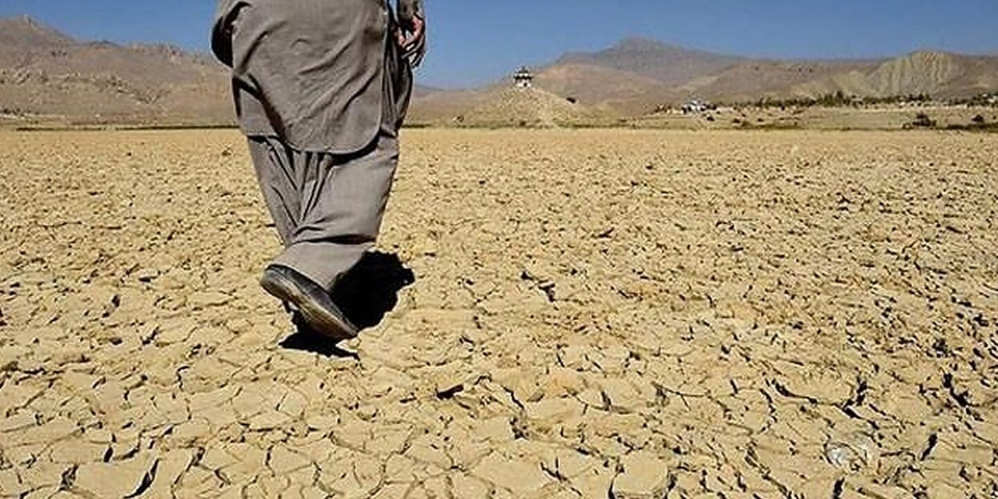
Ask anyone farming near Yazman or Fort Abbas what the desert’s problem is and the answer is one word: water. That is right, but it hides the harder half of the story. Cholistan is not simply short of groundwater. There is groundwater under the dunes. What there is very little of is groundwater you can drink or irrigate with.
Under 200 millimetres of rain a year
Start with what arrives from the sky. A 2023 hydrogeophysical survey of Lesser Cholistan by Kashif Arif and Perveiz Khalid, published in PLOS ONE, records that the area receives less than 200 mm of rainfall a year. The same study names only two meaningful sources of recharge for the aquifer beneath the desert: rainwater, and the Sutlej.
That second source is why what happens upstream matters here. A desert aquifer fed by one seasonal river and under 200 mm of rain has almost no margin. Whatever is pumped out is not quietly replaced.
The water is not deep. It is salty.
The same survey put numbers on depth, and they are not dramatic. At a well in the north-east of the study area the water table sat at roughly 12 metres or less. At a borehole in the south-west, roughly 17 metres or less. Depth is not what stops people using this water.
Quality is. The study reports that the upper part of the aquifer along one buried channel holds water at about 4,000 ppm of total dissolved solids. A deep sample taken near Derawar Fort, from around 410 metres down, came back at 25,400 ppm. The World Health Organization’s drinking-water guidance treats water as noticeably unpalatable well before 1,000 ppm. Both figures are far past the point where the water is usable without treatment.
The split is geographic and it is sharp. The survey found fresh groundwater mainly in the north, in sand and gravel deposits, and saline conditions across the south, in clay-rich sediments. This is the practical reason two tubewells a few kilometres apart can have completely different fates, and why sinking a bore on a neighbour’s advice is a gamble rather than a plan.
What the rest of Punjab is doing to the same water
Cholistan does not sit in isolation. Writing in Daily Times, a former Punjab irrigation minister and three-time member of the provincial assembly set out the provincial picture: roughly 1.4 million largely unregulated tubewells, extraction of 55 to 60 million acre-feet a year against natural replenishment of only 3 to 5 million acre-feet, and agriculture accounting for over 90 per cent of use. In the south of the province, he wrote, salinity has already spoiled 60 to 70 per cent of groundwater.
That is an opinion piece by a politician rather than a peer-reviewed paper, so treat the framing as advocacy. The measured declines he cites for 2004 to 2024 are still worth writing down: 32 feet at Multan, 20 feet at Vehari, 44 feet at Pakpattan, 48 feet at Lahore. None of those districts is Cholistan, but all of them draw on the same regional system, and all of them are upstream of us in one sense or another.
The gap we could not fill
Here is what we could not find, and we looked: a published, regularly updated monitoring series for water table depth in Cholistan itself. The academic work is snapshot surveys, valuable but occasional. The provincial numbers that get quoted in the press are for the canal-irrigated districts. If a current, public, year-on-year record for the desert exists, we have not been able to locate it.
That absence is the story as much as the salinity is. You cannot manage what nobody is measuring, and right now the honest answer to how fast Cholistan’s water is changing is that nobody outside a few research teams appears to know.
What this changes for us
Three things follow. Test before you drill, because in this geology a neighbour’s good bore tells you very little about your own. Treat the tobas and rainwater harvesting as core infrastructure rather than heritage, because under 200 mm a year is the recharge budget and surface capture is the part of it we can influence. And keep asking for the monitoring data, because the case for anything else rests on numbers nobody is currently publishing.
If you work with groundwater here, as a farmer, a driller or a department official, and you have readings, we would like to see them. Our contact page is the fastest way to reach us.
Sources
- Kashif Arif and Perveiz Khalid, “Hydrostratigraphy and hydrogeophysical studies to delineate fresh and saline aquifer boundaries in Lesser Cholistan of Pakistan”, PLOS ONE, 2023. Read the paper
- “Punjab’s Groundwater Crisis”, Daily Times opinion. Read the article
- “Appraisal of groundwater conditions through hydrogeophysical and hydrogeological approach in Cholistan area, district Bahawalpur”, PLOS ONE. Read the paper
This piece is desk research from published sources, not EcoBahawalpur field data. Where we have our own readings we say so.